Nossos serviços estão apresentando instabilidade no momento. Algumas informações podem não estar disponíveis.
Macrocharacterization of Natural Resources in Brazil
Description
It presents a spatially-integrated view of the natural environment in Brazil, covering the topics geology, geomorphology, pedology and vegetation, by means of maps, descriptions, photos, pictures, images, diagrams and schemes structures, besides covering statistics about the spatial distribution of the elements described.
About the publication - Structural Sub-provinces
In this new volume, third in the Macro-characterization of Brazilian Natural Resources collection, the Geology subject presents what can be considered a complement to the first volume, which is the subdivision of the structural provinces into sub-units, or tectonic domains, called structural sub-provinces. As a result, 97 sub-provinces in the 14 provinces adopted in the first volume, released in 2019, are identified, characterized and discussed.
The compartmentalization into provinces and structural sub-provinces aims at spatially representing the major geo-tectonic events already identified with the sub-provinces in the National Territory, grouping the litho-stratigraphic units directly involved in their formation, or deformation, and geo-dynamic transformation. Such events are directly related to internal dynamics of Earth, more precisely to the movement/interaction of the lithosphere fragments known as tectonic plates, to the resulting formation and/or agglutination of continents, as well as to the opening and/or closure of oceans and continental sedimentary basins over the last 4.5 billion years of the geological history of the planet.
More on the product - Structural Sub-provinces
Interactive Geographic Platform
Map
- Structural Sub-provinces (PDF file)
Database
- Structural Sub-provinces (shapefile)
Publications - Structural Sub-provinces
Subprovíncias estruturais
Material type: Book
Year: 2020
Learn more - Structural Sub-provinces
News and Releases
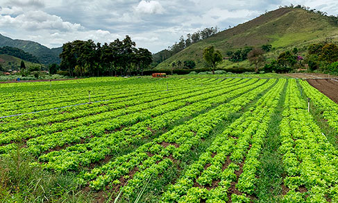
IBGE´s unprecedented publication shows high natural potential for agriculture in Brazil
The IBGE released today (5) the Map of Natural Agricultural Potential of Land in Brazil, an unprecedented...
05/12/2022
IBGE maps 97 Brazilian structural sub-provinces
The IBGE releases today (July 16) the Macro-characterization of The Brazilian Natural Resources - Structural...
16/07/2020
Unprecedent IBGE study shows South and Southeast as the most likely regions to have landslides
Today the IBGE puts out an unprecedent study on landslides in the country. The map “Brazil's landslide...
29/11/2019
Errata
Cartographic enhancement of Map of Structural Subprovinces
Published date: 27/07/2020
Description:
Some cartographic elements in the map needed adjustments, for instance, the map labels, legends and the delimitation of the maritime boundaries.Actions: Previously in Brazilian Portuguese, the names of the countries are now spelled in their original language; New position and curved style lettering for label text that says 'Oceano Atlântico' (Atlantic Ocean) following the sea lines; Label adjustment for 'Limite Estadual' (State limit) which was just 'Estadual' (State) before; Amendment of the class labels for the Group of 'Subprovinces of the Coastal Province and Continental Shore' which were duplicated; Insertion of lateral limits for maritime boundaries.


