Nossos serviços estão apresentando instabilidade no momento. Algumas informações podem não estar disponíveis.
Brazilian Profile of Geospatial Metadata - Profile MGB
Description
A profile of geospatial metadata includes a structured model to produce metadata, based on a regulation of reference, following the compliance rules established by the regulation of reference, and developed to meet the needs of a certain community that produces geospatial information.
Partnerships
Essa publicação resulta de um esforço conjunto entre o Instituto Brasileiro de Geografia e Estatística (IBGE) e a Diretoria de Serviço Geográfico do Exército Brasileiro (DSG/EB).
Resolutions and Legislation
O Art. 15 do Decreto-Lei 243/67 estabelece o Instituto Brasileiro de Geografia e Estatística (IBGE) e a Diretoria de Serviço Geográfico do Exército Brasileiro (DSG/EB) como os órgãos responsáveis pela normatização técnica dos “trabalhos de natureza cartográfica realizados no território brasileiro”, no que diz respeito à cartografia terrestre. IBGE e DSG uniram esforços para elaborar a versão atualizada da norma brasileira de metadados geoespaciais (Perfil MGB versão 2.0), que incluem os metadados das cartas gerais do mapeamento sistemático terrestre brasileiro.
About the publication - 2020 - version 2.0
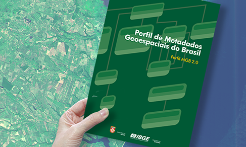
The Brazilian Profile of Geospatial Metadata - Profile MGB aims at establishing a common structure to describe geoinformation produced in Brazil, by means of a terminology standardized according to international regulations about this subject, yet adapted to the national reality, based on the experience of more than 10 years of the National Spatial Data Infrastructure - INDE.
This publication launches Profile MGB 2.0, replacing the version released in 2009, as a result of a joint effort between the IBGE and the Geographic Service of the Brazilian Army - DSG. This new version aims at complying with the most recent international regulation of reference, ISO 19115-1:2014, from the International Organization for Standardization - ISO, updating regulation ISO 19115:2003, on which the 2009 Profile MGB was based. Two major guidelines were followed: total adherence to the current regulation, using the model of the 2009 Profile MGB as the base to select the packets, classes and elements for the Profile MGB 2.0, avoiding, as much as possible, the inclusion of new elements in relation to the previous version, yet considering a sufficient set of elements to describe, in general, geospatial data and geoinformation resources produced in Brazil.
The publication is structured into four chapters. The first chapter gathers basic knowledge to understand the document, including terms and definitions, notions of Unified Modeling Language - UML and issues on the requirement of some elements of metadata. The second chapter brings the structure to describe the metadata elements using UML diagrams, an approach proposed by the base regulation. The third chapter presents the data dictionary that complements the UML diagrams described in the second chapter. Lastly, the fourth chapter describes the controlled lists of this Profile that complement the UML diagrams developed in the second chapter, as well as the data dictionary introduced in the third chapter. In the end of the publication, complementary information describes the criteria that should be adopted for a metadata based on this Profile to comply with the regulations of reference, provides additional clarification about the updating of the Profile for the new regulation base, and provides some examples that show the use of the Profile MGB 2.0 to describe the metadata of products already consolidated.
It is expected that this publication, also available on the IBGE web portal, allows producers of geoinformation in Brazil to have a reference document in line with the current state of the art in the standardization of geospatial metadata.
Publications - 2020 - version 2.0
Learn more - 2020 - version 2.0
News and Releases
IBGE updates Brazilian Profile of Geospatial Metadata
The IBGE launches today (19) the new version of the Profile of Brazilian Geospatial Metadata - Profile...
19/05/2021


